Get ready, we’re about to go back 12,000 years!
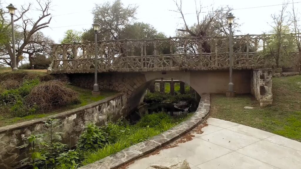
These 400 acres along the San Antonio River have a legacy of Indigenous roots, Spanish colonial dams and irrigation, Civil War industry, and infrastructure shaped by the Works Progress Administration–but our story starts long before that.
The land that is now Brackenridge Park has been a gathering place since prehistoric times with evidence of human habitation dating back at least 12,000 years into the late Paleoindian era. Native American artifacts date as early as 9,200 B.C. making the park one of the most significant archeological sites in Texas. This has contributed to the park’s listing on the National Register of Historic Places and designation as a National Antiquities Landmark.
The park itself was founded in 1899 when George W. Brackenridge, as president of the San Antonio Water Works Company, donated 199 acres. Additional land acquisitions over time expanded the park from just below the headwaters of the San Antonio River to north of downtown. Since then, Brackenridge’s legacy of nature, culture, history, education, and recreation has only grown.

Bricks on sale while supplies last. Buy yours today to help build the Nature Playscape!