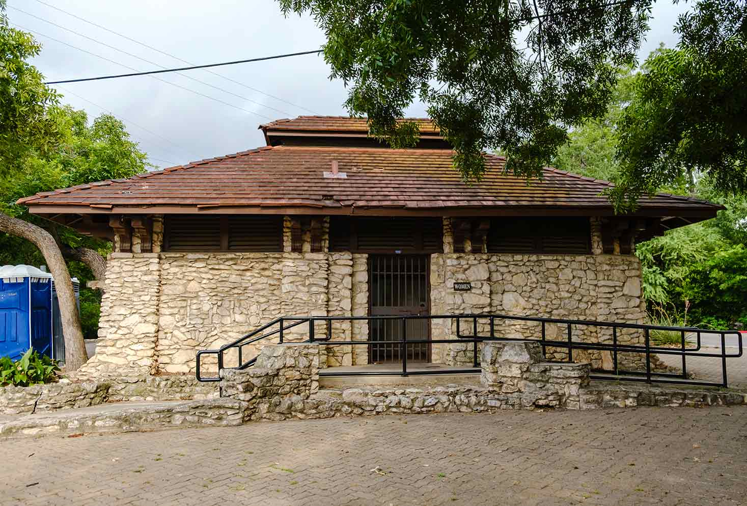
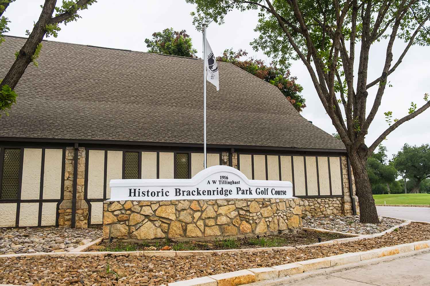
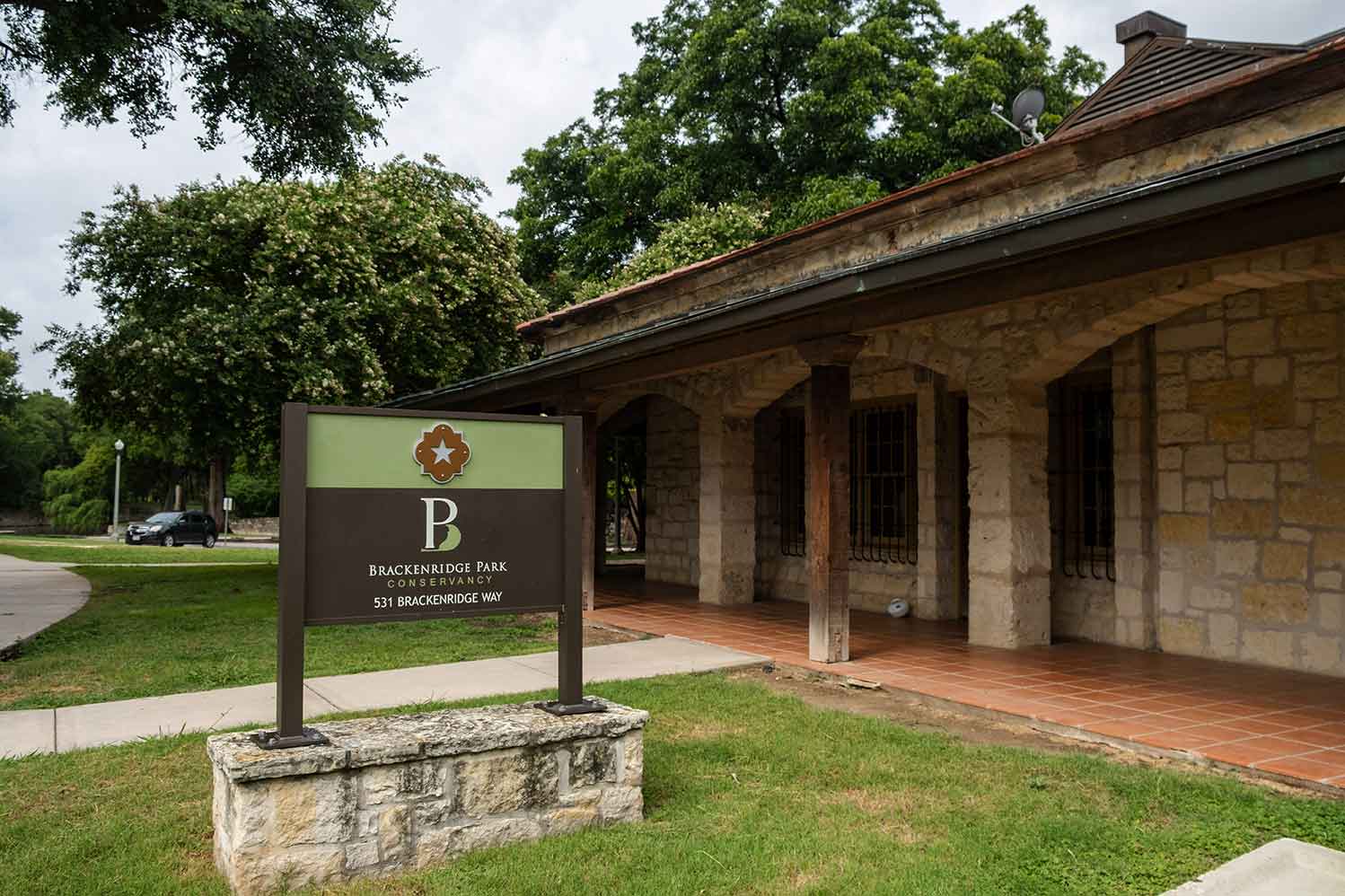
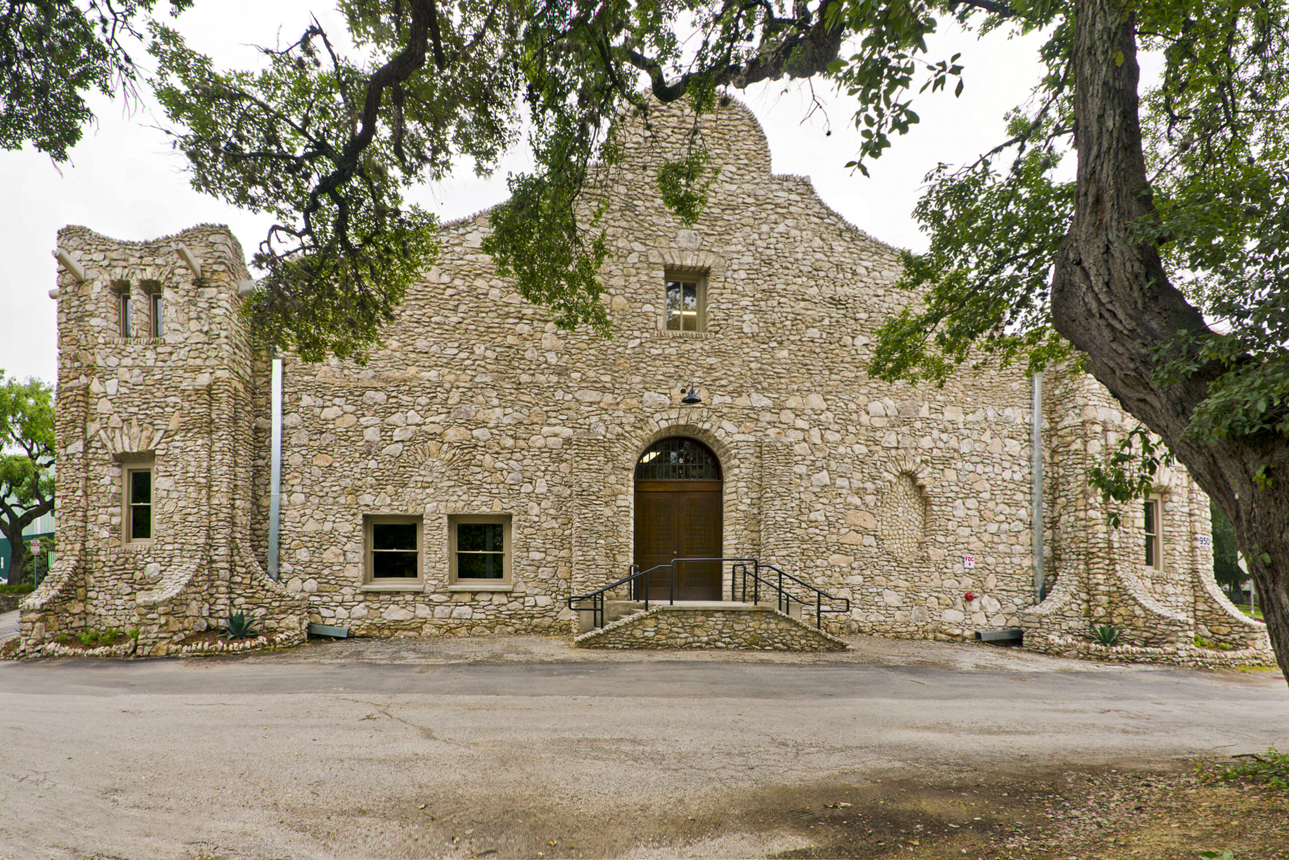
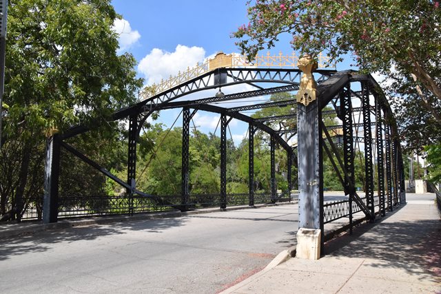
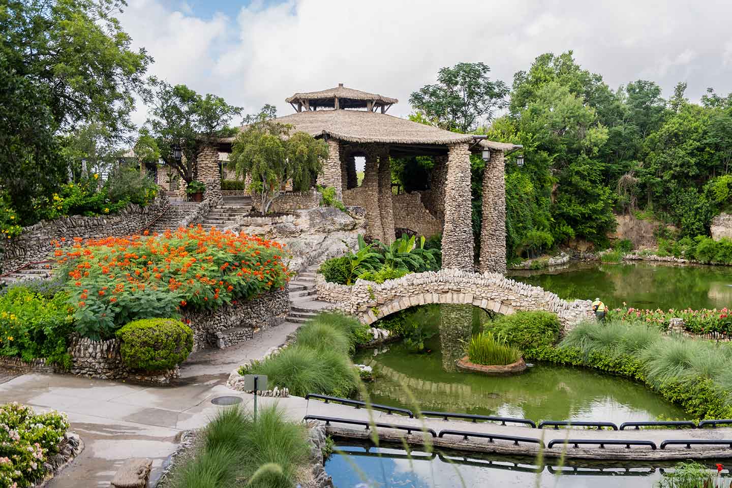
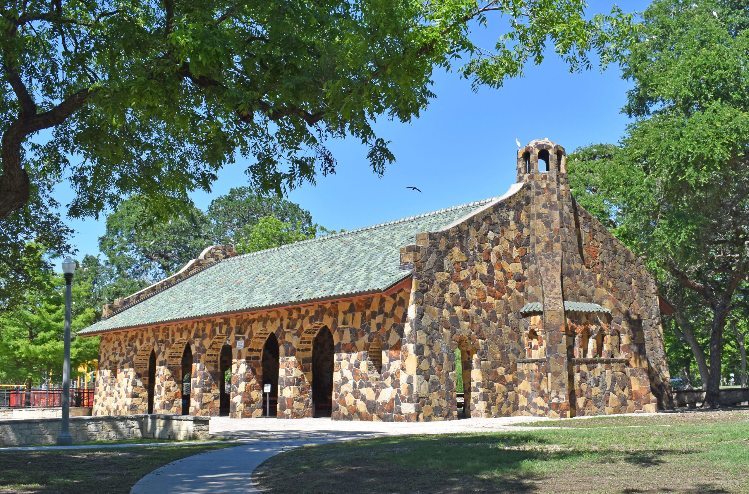
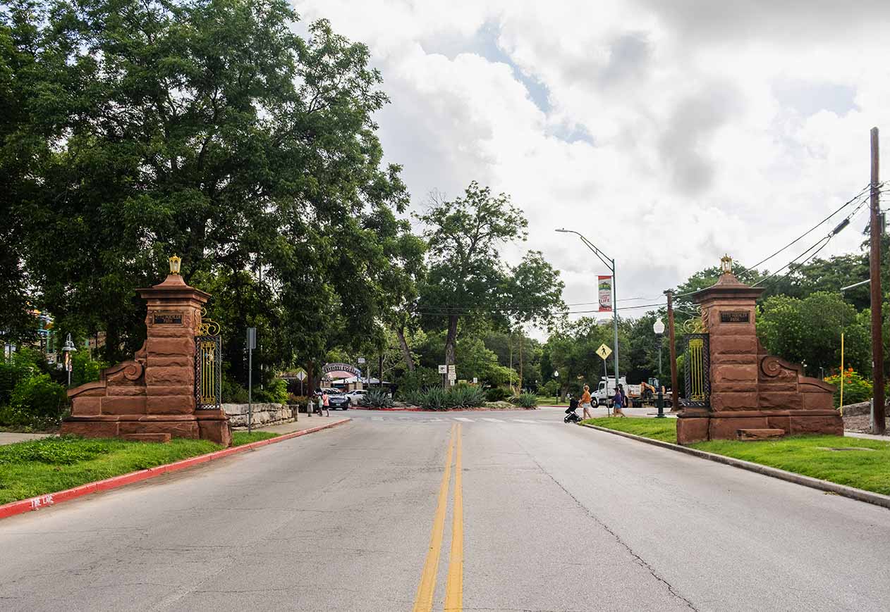
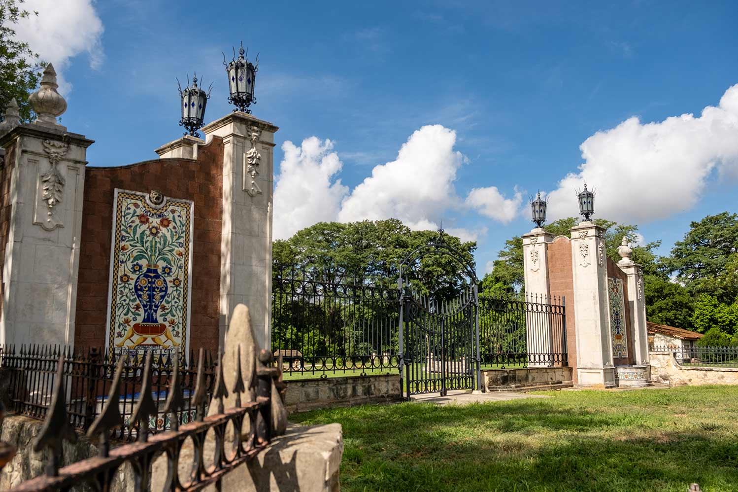
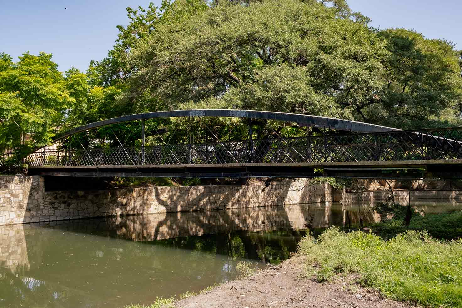
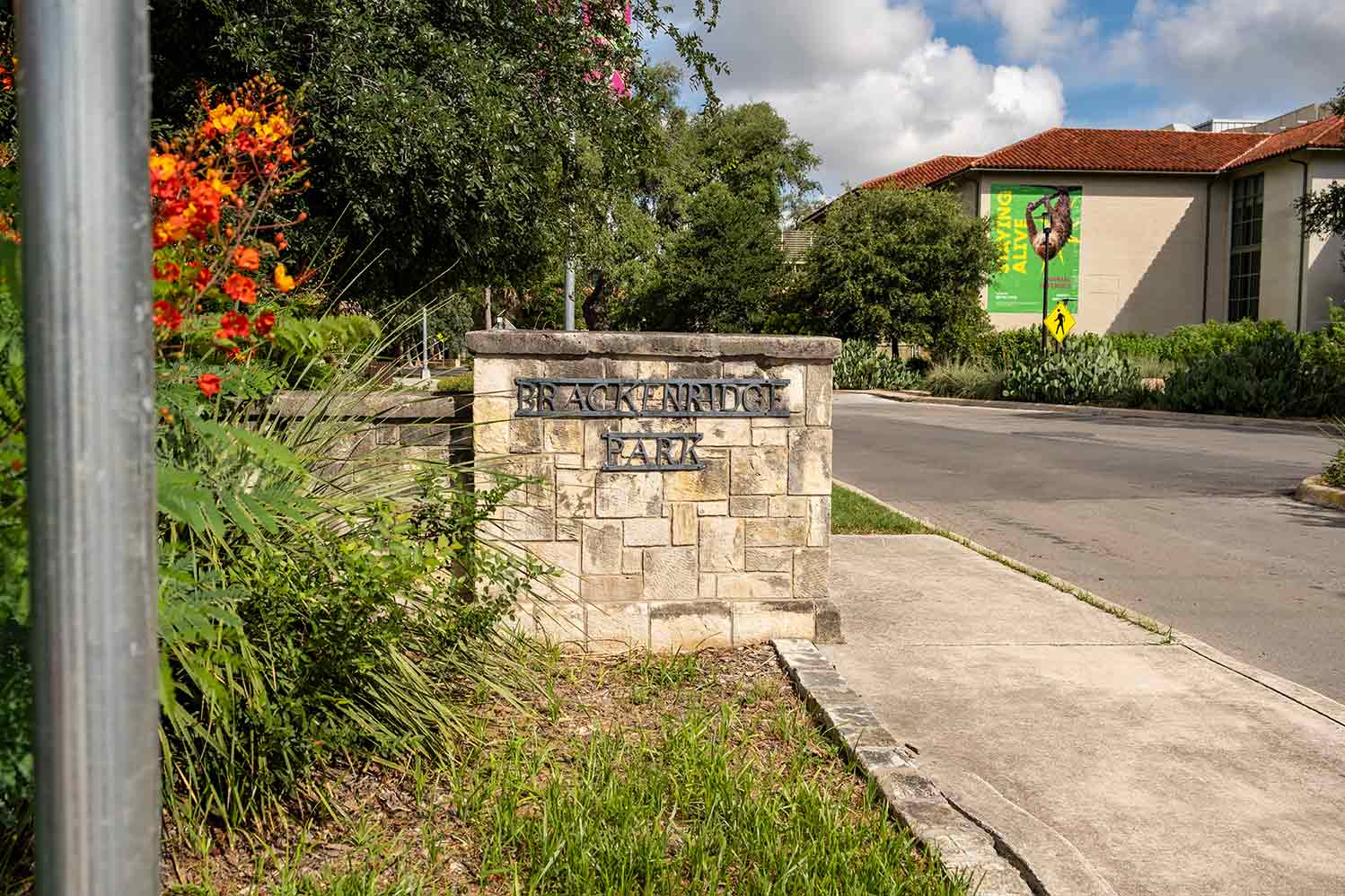
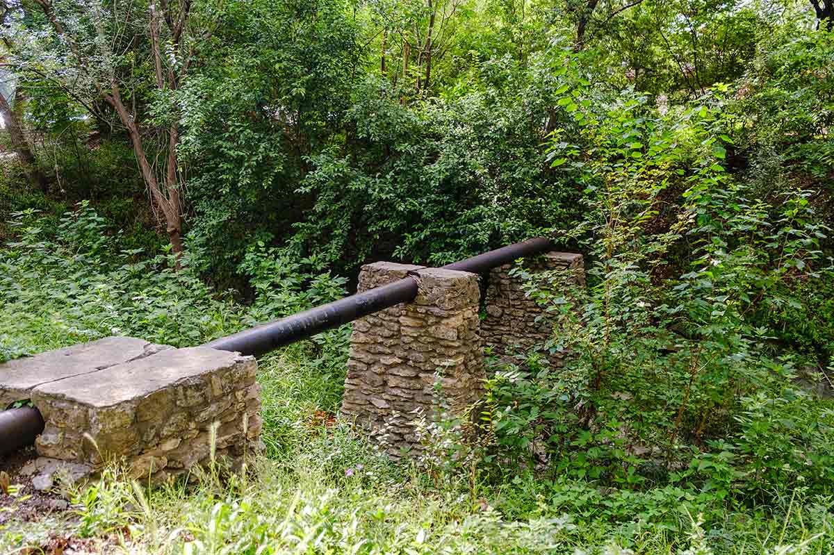
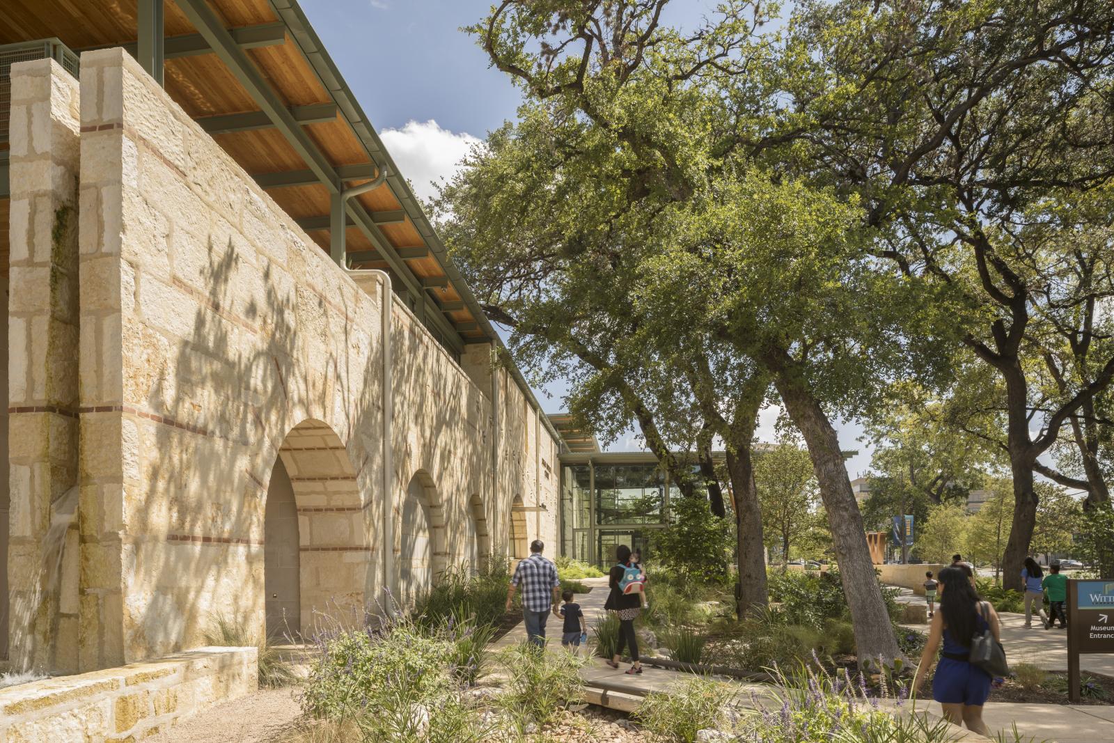
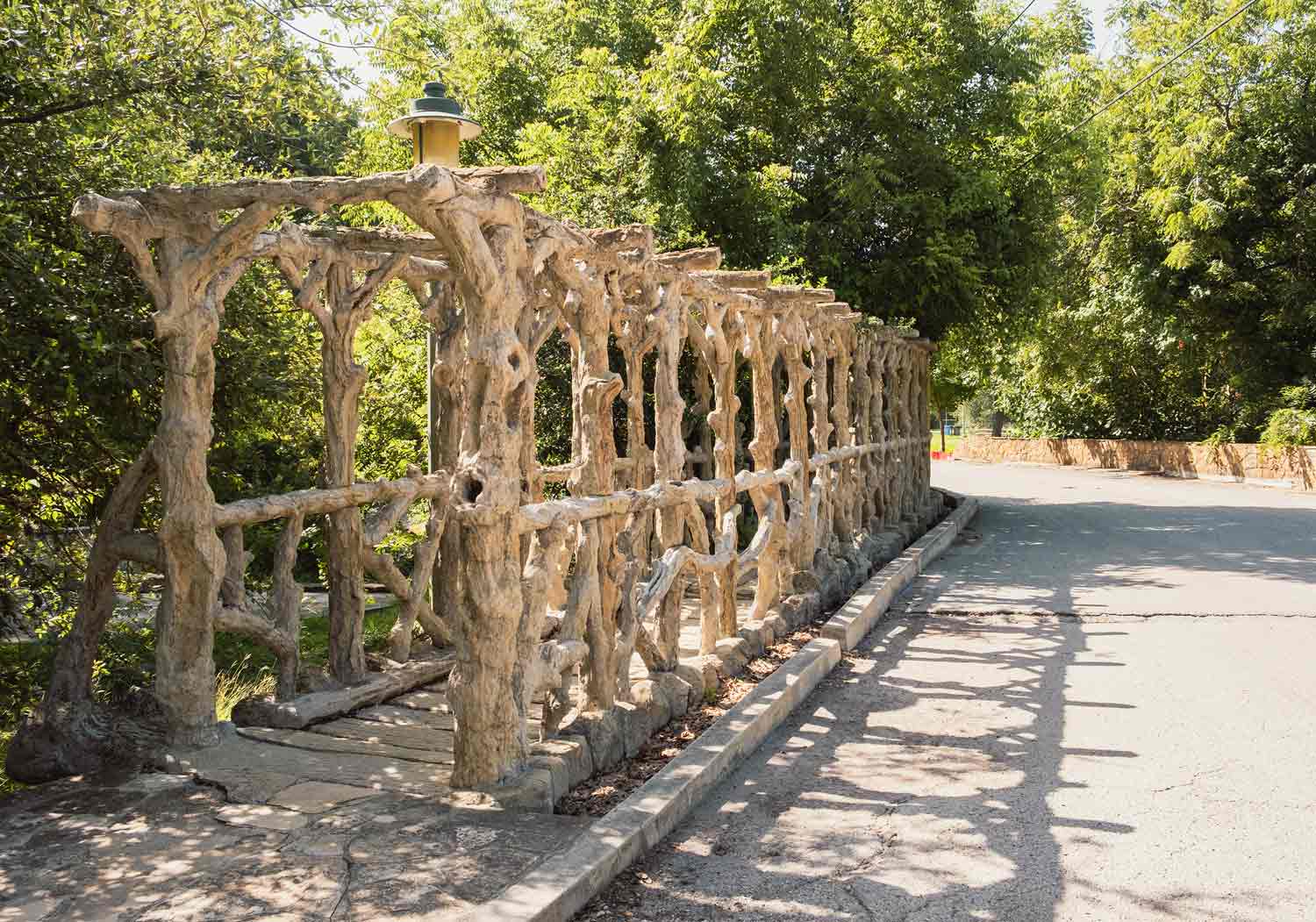
Current Projects

Brackenridge Park's Historic Sites

Miraflores (c. 1923)

Miraflores (c. 1923):

The outdoor sculpture garden was built by Dr. Aureliano Urrutia (1923–c. 1926). This property, now owned by the City of San Antonio, was individually listed on the National Register in 2006 and declared a State Archaeological Landmark in 2009. Miraflores is connected to Brackenridge Park by a pedestrian bridge built in 2009; however, it is not open to the public. Restoration work is underway.

Click here for more information   

Upper Labor Dam:

The Upper Labor Dam diverted water from the San Antonio River’s west bank into an acequia that ran southwesterly through today’s San Antonio Zoo and near the alignment of Rock Quarry Road (now North St. Mary’s Street). During park renovation in the 1990s, the dam was partially excavated and documented and then covered for protection. The stone‐lined channel remains intact and is visible in both the Park and within the boundary of the San Antonio Zoo.

Click here for more information   

Donkey Barn (c. 1920 and 1956)

Donkey Barn (c. 1920 and 1956):

Just below Hildebrand Avenue, a service road branches to the right off the main road. On the right (west) of the service road is a rubble stone structure known as the donkey barn. It was originally constructed c. 1920 as a one‐ story hay barn for the adjacent zoological garden. A second story with an “Alamo‐shaped” façade was added in 1956 when the building was converted to Parks and Recreation Department offices.


Dionicio Rodriguez Bridge (1926; NRHP 2004):

Proceeding south from the donkey barn on the left side of the road, the Dionicio Rodriguez faux bois footbridge of concrete and reinforcing steel consists of 33 pairs of vertical tree trunks spanned by horizontal branches. The structure is considered one of Rodriguez’s masterpieces.

Dionicio Rodriguez Bridge (1926; NRHP 2004)

Stone footbridge (c. 1900 and later)

Stone footbridge (c. 1900 and later):

Immediately below (to the right) of the road, a concrete and stone footbridge spans the old Water Works channel. The footbridge is supported on stone rubble arches and features a modern iron railing. The supporting structure dates to the park’s early history and is thought to have been the foundation for an older bridge that connected Madarasz Family Park (now Koehler Park) on the west with Brackenridge Park on the east.


Water Works Raceway (1877):

The Water Works raceway is a straight, earthen ditch with sloping sides constructed to deliver water from the west bank of the San Antonio River to the Water Works pump house. As originally constructed, the ditch measured about 40 feet wide and 650 feet long. The raceway was designed with a nine-foot fall that provided power to drive turbines and pumps. Water re‐entered the river at the pump house. Today the raceway is abandoned and dry.

Water Works Raceway (1877)

Electric Pump Station #3 (1940):

As the service road proceeds southeast to reconnect with the main road, there is a small square limestone structure on the left. Located on the west bank of the Upper Labor acequia channel, this building was constructed to house an electrically powered pump that sent water to an elevated storage tower northwest of Brackenridge Park. The building has metal casement windows on two sides and is roofed with red and green clay barrel tile. A plaque on the building reads=> “City Water Board, Brackenridge Park Electric Pump Station #3, March 1940, Conrad A. Goeth, Chair, Lamar G. Seeligson, Martin C. Giesecke, James A. Gallagher, Maury Maverick, Mayor”. Beyond the electric pump station, the service road first crosses the Upper Labor acequia channel and then the water works canal channel. The water works channel, which goes underground at this point, originally carried water to power the adjacent pump house (see No. 10). The bridge over the acequia channel has an arched railing of concrete and stone, while the bridge over the water works channel has a stone rail on the north side and no railing on the south side.


Bathroom Structures (c. 1926):

Two almost identical rectangular structures, thought to have been designed by Will Noonan, were built under the administration of Parks Commissioner Ray Lambert to house bathrooms. The first, originally a men’s restroom, is now used for storage; it is located on the left side of the service road between the old acequia channel and water works channel. The second, originally a women’s restroom, has been remodeled to serve both men and women; it is located on the right side of the main park road. Both are constructed of stone rubble and feature hipped roofs with projecting eaves and a central louvered ventilation pavilion that rises above the roof level. The first is roofed in red asphalt shingles, and the second is roofed in flat red tile. Both likely were roofed in green barrel ceramic tile, originally.


Lambert Beach and Bathhouse (1915; 1925):

The “beach” was one of Lambert’s first projects in Brackenridge Park, and its remodeling and expansion was one of his last projects. Initially constructed in 1915 as a gravel‐lined pool in the natural river channel, the swimming area was transformed into a more formal swimming pool in 1925, only one year before Lambert’s death. In 1925, concrete stairs and landings were added to provide easy access to the river, and a stone bathhouse replaced rustic dressing rooms. The rustic stone rubble bath house was designed by Emmett Jackson. Arched openings on both the north and south sides of the building accessed changing rooms. The roof of the bathhouse was removed in 1992 when the structure was converted to an open‐air “playscape”. A stone retaining wall separates the bathhouse from the river level. It is partially collapsed. Stairways leading down to the river and adjoining walkways that allowed swimmers to access the river are badly deteriorated.

Click here for more information   

First Water Works Pump House (1877–1878):

The one‐story pump house stands to the right of the bridge. Designed to raise water to a reservoir about one mile southeast (beyond the park boundaries), the building is constructed of smooth‐finished, cut limestone extracted from the city rock quarry a short distance to the south. Arches over doors and windows are of rusticated stone with central keystones. The low hipped roof is covered with corrugated metal. Tall wooden doors are set in the central entrance arch and there are double‐hung wood sash windows on all elevations. A center column and beam support the pump house as it spans the river. The raceway exits into the river on the south side of the building. Stone rubble wing walls curve from the building along the river. The interior space is not partitioned and possibly was used as an office for the Water Works. This pump house is the oldest intact industrial building remaining in San Antonio.


Lambert Beach Softball Field (c. 1950 and later):

A softball field is located between the main road and San Antonio River just below the Dionicio Rodriguez foot bridge. Both stone and metal and wood picnic units are scattered on both sides of the road. The stone units resemble earlier units in the park but were constructed in the 1990s.


Iron Truss Bridge (1890; relocated 1925):

The road crosses the San Antonio River on an iron truss bridge that was originally erected at a downtown site in 1890 but was moved here in 1925. The lenticular truss bridge was manufactured by the Berlin Iron Bridge Co. The bridge is a prominent feature of the area known as “Lambert Beach”, in honor of Parks Commissioner Ray Lambert. A plaque on the bridge bears the inscription “National Youth Administration, 1937-38”. It is unclear if this refers to work done on the bridge or the adjacent retaining walls.


Pedestrian bridge (c. 1930):

The pedestrian bridge spanning the river below Lambert Beach is a structure with arched iron trusses. Tall concrete stairs with curved pipe railings lead to either side of the bridge, which features metal lattice siding. The center of the bridge is the dividing line between Koehler Park to the west, where alcohol may be consumed, and Brackenridge Park to the east, where it cannot be consumed. The bridge was moved to the park in 1925 from its original location on Fourth Street at the river in the downtown area.


Joske Pavilion (1926):

Immediately on the left of the road after crossing the iron truss bridge are the Eleanor Brackenridge playground and Joske Pavilion. The playground, named for George Brackenridge’s sister, has occupied this site since the 1920s. The Joske Memorial Pavilion, one of the park’s signature structures, was built with a $10,000 bequest to the city from the estate of retailer Alexander Joske. The structure of dark random‐coursed stone was designed by Emmett Jackson and erected in 1926. It has massive chimneys at the north and south ends. The chimney on the south end has a splayed base with inset, arched openings that reflect larger openings on the east and west sides of the structure. A tall chimney pot tops the structure on the south. An interior stone stairway with wrought iron railing leads to a balcony overlooking the river on the south end. The north end features a parapet in the “Alamo” style. A stone stairway with wrought iron railing accesses a second-story balcony that overlooks the playground and river. The projecting balcony is supported by round stone columns.

Joske Pavilion (1926)

The offices of the Brackenridge Park Conservancy:

The offices of the Brackenridge Park Conservancy are in the newly renovated concession building, known as the “Water Works Snack Bar”, which was constructed in 1979 and replaced an earlier building.


Picnic Area (1938–1940):

The area of the park extending to Tuleta Drive south of Joske Pavilion features 19 picnic units. The concrete and stone tables, benches, and barbecue pits—built by WPA workers—are scattered among the trees overlooking the river. A glazed tile number is set in the edge of each picnic table. Some tables also have an inset bronze plaque reading=> “Works Projects Administration, 1938-1940”. Modern concrete pads and stone water fountains have been added.


Train crossing bridge (1957):

The bridge below the pedestrian bridge is a simple iron truss structure built in 1957 as a crossing for the park’s miniature train, the Brackenridge Eagle.


Works by Dionicio Rodriguez (c. 1925):

Two faux bois works by Dionicio Rodriguez are situated between the Koehler Park entry gates and the San Antonio River. The first, located close to the low water crossing, is a palapa‐roofed bench. The second is a palapa table and two benches, located just north of Koehler Pavilion. There is a single faux bois “hollow log” shelter by Rodriguez located on a walking trail immediately south of Tuleta Drive. This piece was moved to the park from a temporary location in about 2006. It is thought to have originally been located downtown on Alamo Plaza.


Koehler Pavilion (c. 1925; remodeled 1982)

Koehler Pavilion (c. 1925; remodeled 1982):

The Koehler Pavilion is built of stone, concrete, and wood and is roofed with standing‐seam sheet metal. The overhanging roof is supported by columns that rest on stone perimeter walls. A central frame structure, covered by a hipped roof, rises in the center. The entire roofing system is supported by regularly spaced interior columns. A pavilion likely was constructed on this site shortly after Koehler Park was acquired by the city in 1915, and the perimeter wall stonework indicates that the structure dates to the period between the middle 1920s to the late 1930s. The structure was remodeled under the direction of Carragonne and Reyna Architects in 1982; as part of that project, an adjoining concrete patio was constructed overlooking the river. Two auxiliary structures are located adjacent to Koehler Pavilion. A small modern picnic shelter to the south was built c. 1982. The one‐story masonry rectangular structure north of Koehler Pavilion was built c. 1930; its original use is not known. The gable roof and deep, projecting porch roof are covered in standing seam metal. The building was later converted to restrooms.


Alamo Dam and Acequia (1719):

Spanish colonists constructed a dam on the east bank of the river to divert water into the ditch that served Mission San Antonio de Valero (the Alamo). The acequia, which provided water for agricultural and household use, ran southeasterly toward Broadway and south to the mission (the Alamo) before returning to the San Antonio River below today’s downtown area. The irrigation ditch provided water for agricultural and household use. The dam (c. 1719) was located on the river’s east bank, just above Pioneer Hall and the Witte Museum, and the ditch (c. 1719) angled across the open area between the river and Broadway. The dam and ditch are not visible today. Archaeological investigations in late 2010 identified the locations of both features. These investigations indicate that there were modifications to the acequia at various times. Two ditch outlines have been discovered. The earlier outline undercuts the later one, indicating that the later version was used for a longer period.


Reptile Garden (1937):

The reptile garden is located north of Pioneer Hall near the location of the Alamo acequia dam. First constructed at another location closer to the museum, it was moved twice before being rebuilt on this site in 1937. The reptile garden closed many years ago. The deteriorated roof structure has been removed, but the perimeter limestone walls with “snake apartments” and metal gate are intact.


Pioneer Hall (1937):

Pioneer Hall is sited immediately north of the Witte Museum. It was one of two projects in the park constructed with federal funds allocated to celebrate the Texas centennial; the second was Sunken Garden Theater (see No. 36). The Mediterranean‐influenced limestone building with red tile roof was designed by the architectural firms of Phelps & Dewees and Ayres & Ayres. Constructed as a memorial to the state’s pioneers, trail drivers, and rangers, Pioneer Hall is designated a Texas State Archaeological Landmark.


Witte Museum (1926; 1962 and later):

The Witte Museum was built on land acquired by the city in 1908. Constructed with a bequest from local businessman Alfred G. Witte and named for his parents, it was the city’s first public museum. The original museum building, designed by Atlee B. Ayres and Robert M. Ayres, was completed in 1926. The museum has been expanded and remodeled several times since 1926. Three historic structures stand behind the museum near the river=> the Francisco Ruiz House (c. 1760; relocated 1943); the Celso Navarro House (c. 1835; relocated 1947); and the John Twohig House (c. 1841; relocated 1942). These buildings, originally located in downtown San Antonio, were preserved from demolition and relocated to the museum grounds in the 1940s through the efforts of local preservationists.


Perimeter Wall and Entry Gates (1936–1937):

A low limestone perimeter wall built in 1936-1937 separates Broadway and the adjacent sidewalk from the green space in front of the Witte and Pioneer Hall. The wall, which runs the length of the property, was built by Witte museum and WPA workers. Entry points through the wall connect to sidewalks leading to both the Witte and Pioneer Hall. A stone bench is built into the wall, presumably to provide seating for bus patrons. The wall culminates at Tuleta Drive on the south and on the north at the northeast corner of the park property.


San Antonio Zoo:


Parking Garage:

The three‐story Brackenridge Park parking garage, located on the west side of Avenue B near Tuleta Drive, was designed by Lake Flato Architects and completed in 2009. It contains an art piece by Cakky Brawley.


Low Water Crossing:

Tuleta Drive, which defines this section on the north, crosses the San Antonio River over a low water crossing (c. 1917) that has been a popular attraction for generations of park visitors. The base of the crossing is concrete, and the sides are defined by stones arranged to allow water to flow across the crossing. The crossing was built to connect attractions in Koehler Park west of the river with those in Brackenridge Park east of the river.


Miniature Train Depot:

The Brackenridge Eagle miniature train depot is situated immediately east of the Koehler Park entry gates; the depot structure was built c. 1980.


Surface Parking Lot


Koehler Park Entry Gates (c. 1915):

The St. Mary’s Street entrance into Koehler Park is marked by massive red sandstone columns with decorative iron work set on each side of St. Mary’s Street. The columns were erected soon after Emma Koehler donated the park to the city in 1915. The designer is unknown. They carry simple plaques reading “Otto Koehler Park”.


Bathroom Buildings:

On the west side of St. Mary’s Street south of the Koehler Park entrance are two restroom buildings constructed of rubble stone and roofed in standing seam metal. The buildings were likely roofed originally in green clay barrel tile. They are similar in design to structures in the north part of the park and were constructed c. 1920 when Lambert was Parks commissioner. Like the other structures, the restroom buildings are thought to have been designed by Will Noonan. It is worth noting that nearly identical structures are found in San Antonio’s Woodlawn Lake Park, which dates to the same period.


Tony “Skipper” Martinez Softball Field (c. 1980):

Today, the Tony “Skipper” Martinez softball field is located just above the northwest corner of the driving range.


Japanese Tea Garden:

There are two entrances to the Japanese Tea Garden complex. The first leads from St. Mary’s Street to a pathway connecting to the lower portion of the garden. Decorative stonework and conical stone columns line the entryway. The columns were originally topped with light fixtures. The more widely used entrance features a gate designed and constructed by Dionicio Rodriguez in 1942 (NRHP 2004). The archway reads “Entrance to Chinese Tea Garden”, reflecting the garden’s renaming after the outbreak of World War II. The gateway’s supporting posts are lettered with calligraphy translated to mean “China Garden.” Faux bois railings flank the gate. Brick kilns and a smokestack with iron fittings are all that remain of quarry operation that produced lime and Portland cement at this site between 1880 and 1908. Parks Commissioner Lambert incorporated these structures into the landscaped water garden that he formed in the old quarry pit. The garden is irregularly shaped and measures approximately 400 by 300 feet. It consists of two pools connected by walkways and bridges. An expansive, thatched roof pagoda structure and two‐story stone house overlook the pools. A high pedestrian bridge connects the house and pagoda to an overlook adjacent to the brick stack.


Mexican Village:

The Mexican Village is located between St. Mary’s Street and the entrance to the Japanese Tea Garden. The village consists of four small stone structures that were constructed to house food and craft concessions to serve visitors to the garden and adjoining park. It is possible that one of the structures dates to the operation of the cement company and served as a model for the other buildings. The houses were later used as artists’ studios but have been vacant for many years.


Alpine Drive (c. 1917):

Alpine Drive extends from Tuleta Drive near the zoo entrance up a steep incline that defines the old quarry wall on the north side of the Japanese Tea Garden. The drive was designed to provide a scenic overlook above the Tea Garden and the adjoining Sunken Garden Theater. It descends to meet North St. Mary’s Street on the south side of the theater. Stacked stone pylons with lights were located along Alpine Drive; several of these pylons remain but are in poor condition. The Alpine Drive right‐of‐way above the Tea Garden and Sunken Garden Theater was preserved and reconstructed as part of the US Highway 281 mitigation plan. Today the drive is closed to vehicular traffic.


Sunken Garden Theater (1930; 1937):

The entryway at St. Mary’s street is a three‐part structure. The centerpiece consists of an iron entry arch mounted on a cast stone base. The archway reads “Sunken Garden Theater”. The Art Moderne‐influenced supporting base consists of lighted side pieces and a central decorative panel that reads “A memorial to the heroes of the Texas Revolution, 1836-1936”. The central panel depicts a trail drivers camp scene rather than an image related to the revolution. This is possibly explained by the involvement of the Old Trail Drivers Memorial Association in planning local Centennial commemorations. On the face of the northern side piece is a bronze plaque that reads “1926-1951, San Antonio Civic Opera Company. This arch was made possible through the effort and courtesy of Jack White, Mayor; Henry Hein, Commissioner”. The theater originally was constructed in 1930 and expanded and renovated in 1937 using Texas Centennial funding. The architect for the 1930 project was Harvey P. Smith, who was joined by George Willis and Charles T. Boelhauwe to design the 1937 project. The old quarry wall forms the western (back) edge of the theater site, providing an open‐air setting with natural acoustic features. The 1930 design, the largest Lions Club in the world, selected the site for a playground to be built as a gift to the City. The signature identifying monument for Lions Field is a life‐sized lion sculpture that is mounted on a stone pedestal, designed and executed by Louis Rodriguez. On its base, the lion stands eight feet tall, is 14 feet long, and is made of Italian marble. A Broadway landmark since 1925, the lion was completely knocked off its base and lost all four legs and its tail after a tree fell on it during the July 2002 floods. It was returned after a six-month absence after being restored by Lupe Rodriguez (nephew of the original sculptor, Louis Rodriguez) of Rodriguez Brothers Memorial. Lions Field has remained an active recreation center.


Brackenridge Golf Course and Clubhouse (1916 and 1923):

Noted golf course architect A.W. Tillinghast of Philadelphia designed the 18‐hole Brackenridge Golf Course, which was completed in 1916. The wooded site, filled with native trees, spanned both sides of the river and the water works channel that ran directly through the course. Footbridges spanned the river and channel. The course has been extensively remodeled since its completion, most notably in the late 1960s when US Highway 281 cut through the park’s western edge. The Tillinghast layout was left intact, with the exception of the 12th and 13th holes. A major course renovation in 2008 restored Tillinghast’s design, to the extent possible. Three stone bridges, all likely built by NYA workers to span both the old water works channel and river, still stand at various points on the golf course. The Tudor style clubhouse of rubble stone, concrete, and wood was designed by local architect Ralph Cameron and completed in 1923. The main entrance to the building is on the north through an arched doorway topped with a fanlight. The west elevation features a tall chimney and rounded tower with conical roof. The tower is topped with an original weathervane depicting a golfer.


Lower Pump House (1885; NRHP 1981):

The lower pump house, also known as the Borglum Studio for its use by sculptor Gutzon Borglum (who designed Mount Rushmore), was built during the expansion phase of the water works development. It was powered by water that flowed from the river about one mile to the north through a long earthen raceway. The rectangular building of ashlar limestone and wood framing is situated southeast of the golf clubhouse at the edge of the abandoned river channel. The raceway was filled many years ago, though its path is partially visible. At its intersection with Mulberry Avenue, remnant rubble stone wing walls are visible on the south side of the street. The remaining channel is visible as a low depression that runs through the golf course. Large pipes that were once part of the pumping system protrude from the basement level on the west elevation. Pumps were powered by water that entered the lower level of the building at the north elevation. When the building was converted to other uses, a frame addition was constructed on its stone base at the north end. Remnants of piping remain in both the lower and upper levels.


Electric Station #2 (1939):

A small, square stone structure stands a short distance south of the pump house along Avenue B. Like Electric Pump Station #3, which stands just north of the upper pump house, it is presumed to have housed an electrically powered pump. The structure has metal casement windows on two sides and a flat roof. A plaque on the building reads=> “City Water Board, Brackenridge Park Electric Station #2 January 1939 Conrad A. Goeth, Chair, Lamar G. Seeligson, Martin C. Giesecke, James A. Gallagher, C.K. Quin, Mayor”.


Low Water Crossing (1939):

Avenue A runs south from Mulberry Avenue between the golf course and the river’s east bank. It originally branched east through the golf course, and it also connected to River Road (formerly Memorial Drive) on the river’s west bank by way of a low water crossing at Woodlawn Avenue. The road was closed through the golf course in the late 1960s, and it now culminates at the river. Though the river crossing also was closed many years ago, the concrete structure remains intact and is used today by pedestrians and fishermen. A faint stamp in the concrete reads “NYA 1939”.


Davis (Allison) Park (1917):

This 10‐acre open space is bounded on the north by Mulberry Avenue, on the east by the San Antonio River, by private property on the west, and on the south by Huisache Avenue. The park has trees but no standing structures. Along Mulberry Avenue, a cedar post fence defines an old horse trail that originally served the stable at the west side of the park. The stable, which was located on private property, closed and was demolished in the late 1990s. included the stage and classical wings, while the 1937 expansion added dressing rooms and stage support buildings, restrooms, seating, and a concrete floor for the seating area. The 1937 project was constructed by WPA workers, while NYA workers built the concession area in 1937-1938. Two Art Moderne‐influenced ticket booths, one at the north and one at the south entrance also retain their integrity. The stone bathroom structure, built of random‐course limestone, appears to date to the WPA/NYA era. The Sunken Garden Theater is a Texas State Archaeological Landmark.


The Tuesday Musical Club (1950):

South of the Sunken Garden Theater is the Tuesday Musical Club, also known as the Anna Hertzberg Memorial Music Center. The organization, founded in 1901 by Anna (Mrs. Eli) Hertzberg, constructed the building as an auditorium for musical performances. The rectangular structure consists of a one‐story curved entry portico and one and one‐half story auditorium and stage house. The auditorium, which seats 300, was designed by Atlee B. Ayres and Robert M. Ayres. The simple concrete structure features multi‐pane metal casement windows and cast concrete hood moldings over the doors and windows. Busts of three unidentified musicians are set in high recesses on both the north and south elevations. Concrete stairs lead into the building on all elevations.


Kampmann House (circa 1870):

The Kampmann house ruins are located in an overgrown area near the southwest corner of the park, just south of the Tuesday Musical Club. The house is thought to have been built by J.H. Kampmann in conjunction with his quarry activities.


Sheriff’s Mounted Posse Building (c. 1951):

North of Mulberry Avenue and west of the Polo Field is a one‐story, rectangular structure of hollow clay tile. The building is not painted or plastered and has metal windows and no architectural detailing. The structure was used by the Bexar County Sheriff’s Mounted Posse, which maintained its stable and tack room in Brackenridge Park from 1949 until about 1961. The building replaced an earlier structure that burned in 1951. It is currently used in conjunction with the driving range to repair golf clubs.


The Polo Field/Golf Driving Range (circa 1920; 1952):

The largest open space in the park lies east of St. Mary’s Street across from the Japanese Tea Garden, Sunken Garden Theater, and Tuesday Musical Club. The larger portion of the space was used for polo matches from the early 1920s until the 1980s. Beginning in 1952, use was jointly shared with a golf driving range―a function that continues today. The rectangular limestone and concrete masonry clubhouse building at the south end of the driving range near Mulberry Avenue was constructed in 2008 and serves as the headquarters for First Tee, a program to teach golf to inner city children.


Lions Field (1925):

The land that includes Lions Field was once a pasture for George W. Brackenridge’s collection of animals, including buffalo, and elk. Brackenridge sold the property 1906 to owners who kept the land until 1916, when it was acquired by the city. The land remained undeveloped until 1923 when the Lions Club of San Antonio, the largest Lions Club in the world, selected the site for a playground to be built as a gift to the City. The signature identifying monument for Lions Field is a life‐sized lion sculpture that is mounted on a stone pedestal, designed and executed by Louis Rodriguez. On its base, the lion stands eight feet tall, is 14 feet long, and is made of Italian marble. A Broadway landmark since 1925, the lion was completely knocked off its base and lost all four legs and its tail after a tree fell on it during the July 2002 floods. It was returned after a six-month absence after being restored by Lupe Rodriguez (nephew of the original sculptor, Louis Rodriguez) of Rodriguez Brothers Memorial. Lions Field has remained an active recreation center.


Brackenridge Golf Course and Clubhouse (1916 and 1923):

Noted golf course architect A.W. Tillinghast of Philadelphia designed the 18‐hole Brackenridge Golf Course, which was completed in 1916. The wooded site, filled with native trees, spanned both sides of the river and the water works channel that ran directly through the course. Footbridges spanned the river and channel. The course has been extensively remodeled since its completion, most notably in the late 1960s when US Highway 281 cut through the park’s western edge. The Tillinghast layout was left intact, with the exception of the 12th and 13th holes. A major course renovation in 2008 restored Tillinghast’s design, to the extent possible. Three stone bridges, all likely built by NYA workers to span both the old water works channel and river, still stand at various points on the golf course. The Tudor style clubhouse of rubble stone, concrete, and wood was designed by local architect Ralph Cameron and completed in 1923. The main entrance to the building is on the north through an arched doorway topped with a fanlight. The west elevation features a tall chimney and rounded tower with conical roof. The tower is topped with an original weathervane depicting a golfer.


Lower Pump House (1885; NRHP 1981):

The lower pump house, also known as the Borglum Studio for its use by sculptor Gutzon Borglum (who designed Mount Rushmore), was built during the expansion phase of the water works development. It was powered by water that flowed from the river about one mile to the north through a long earthen raceway. The rectangular building of ashlar limestone and wood framing is situated southeast of the golf clubhouse at the edge of the abandoned river channel. The raceway was filled many years ago, though its path is partially visible. At its intersection with Mulberry Avenue, remnant rubble stone wing walls are visible on the south side of the street. The remaining channel is visible as a low depression that runs through the golf course. Large pipes that were once part of the pumping system protrude from the basement level on the west elevation. Pumps were powered by water that entered the lower level of the building at the north elevation. When the building was converted to other uses, a frame addition was constructed on its stone base at the north end. Remnants of piping remain in both the lower and upper levels.


Electric Station #2 (1939):

A small, square stone structure stands a short distance south of the pump house along Avenue B. Like Electric Pump Station #3, which stands just north of the upper pump house, it is presumed to have housed an electrically powered pump. The structure has metal casement windows on two sides and a flat roof. A plaque on the building reads=> “City Water Board, Brackenridge Park Electric Station #2 January 1939 Conrad A. Goeth, Chair, Lamar G. Seeligson, Martin C. Giesecke, James A. Gallagher, C.K. Quin, Mayor”.


Low Water Crossing (1939):

Avenue A runs south from Mulberry Avenue between the golf course and the river’s east bank. It originally branched east through the golf course, and it also connected to River Road (formerly Memorial Drive) on the river’s west bank by way of a low water crossing at Woodlawn Avenue. The road was closed through the golf course in the late 1960s, and it now culminates at the river. Though the river crossing also was closed many years ago, the concrete structure remains intact and is used today by pedestrians and fishermen. A faint stamp in the concrete reads “NYA 1939”.


Davis (Allison) Park (1917):

This 10‐acre open space is bounded on the north by Mulberry Avenue, on the east by the San Antonio River, by private property on the west, and on the south by Huisache Avenue. The park has trees but no standing structures. Along Mulberry Avenue, a cedar post fence defines an old horse trail that originally served the stable at the west side of the park. The stable, which was located on private property, closed and was demolished in the late 1990s.